1 day shy of my 2 month anniversary in South Korea I finally hiked up my first mountain! It almost didn't happen. Firstly, a couple from England (the guy is from my hometown!) were meant to come and visit, hence reason for said hike, but as usual plans didn't work out (this was the second time we had tried to arrange to meet). Secondly, despite my vow to not go out on Friday, (thus ending up too inebriated and consequently hungover the following day to do anything strenuous) I still somehow ended up in Western Village. However, I managed to escape unscathed and was tucked away by a decent time. Waking up to glorious blue skies on Saturday I was glad I'd chosen to stay in Jecheon and set out to do what many Koreans do during the weekends; go for a leisurely stroll up some mountains....


Attempting this for the first time by myself probably wasn't the best idea but armed with a hand drawn map (from a fellow native English teacher at my school), enough basic Hangul (e.g. how to ask where things are!) to survive, a fully loaded/charged iPod, and my trusty hiking boots I felt confident the day would be a success. Catching the bus and getting off just after passing
Uirimji was a doddle. Supposedly the target,
Mt Yongdusan, was about a 10 minute walk away, and seriously - how can you miss a mountain? Well obviously you can't but when you're surrounded by a horizon of looming mountains it does get sort of confusing! Luckily, after double checking with a few natives that I was heading in the right direction I ended up at the trailhead. Can't say accurately how long it took from getting off the bus as I took various detours to take pictures (I get distracted easily) but I would say it's about a 15 minute direct walk from the bus stop to Mt Yongdusan and the route is pretty much straight, as it turned out.
 |
| Second Uirimji |
 |
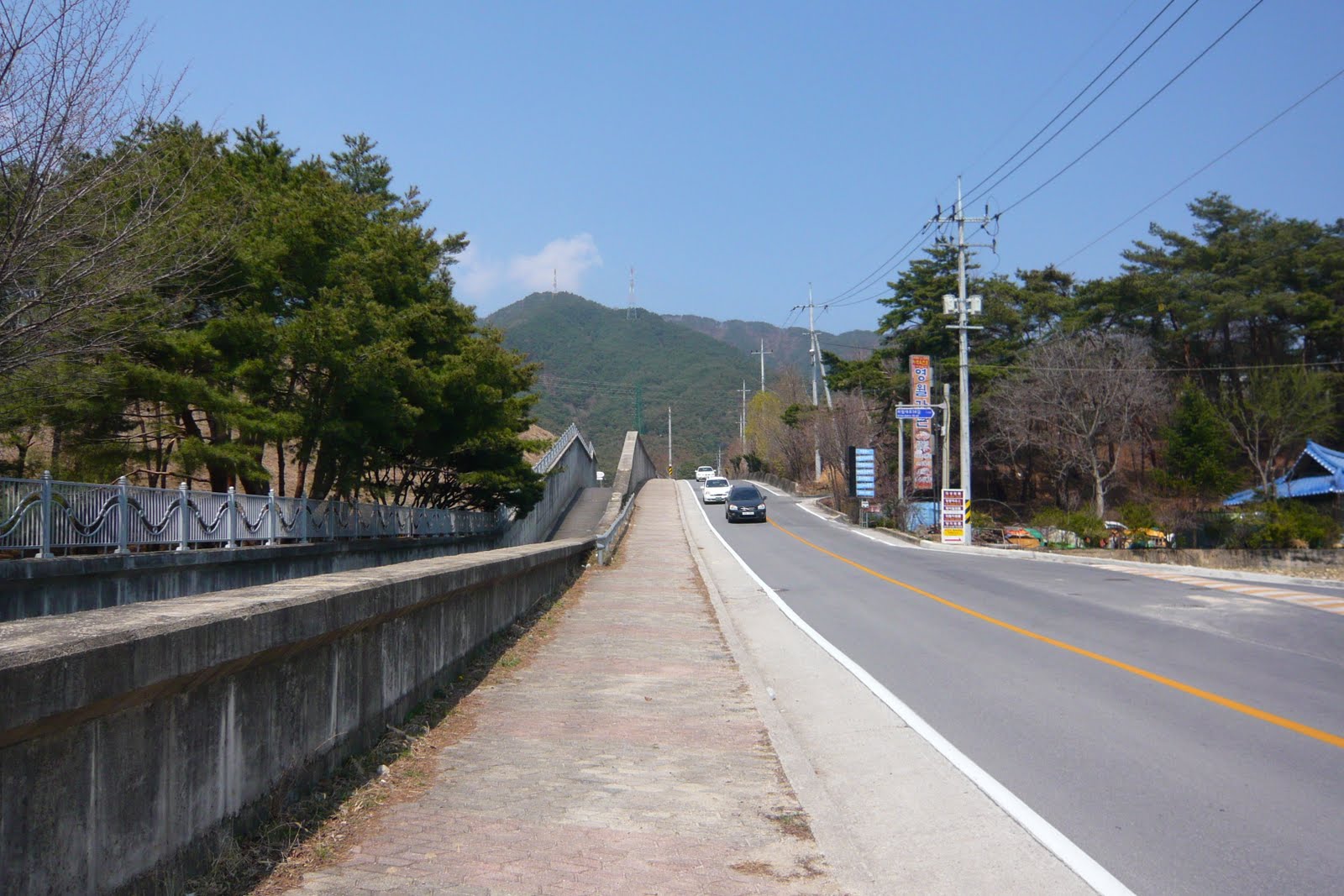
| You can't really get lost! |
 |
| Trailhead - which direction to go? |
 |
| There are various ways to spell this mountain apparently! |
You have a choice as to which trail to take (there are around 3 routes) but under recommendation I took the left trail up and began the journey I'd anticipated since before I came to South Korea. It started off well and was quite fun as there were various obstacle courses laid out across the trail. Yet about 10 mins in the number of stairs to climb increased as did the incline. I enjoy walking as much as the next person and can happily wander around for ages aimlessly. However, this was a totally different ball game and terrain altogether. My poor legs quickly grew tired of the endless stairs and screamed in agony and my lungs protested loudly. With the blood pumping double time around my body and sweat dripping from a face that matched my red hair, I had to stop to rest several times; each time I looked back I despaired at the lack of distance covered and wondererd just how long it would really take for the torture to be over. I have to admit - there were several occasions I seriously contemplated turning around and calling it a day. Somehow I found the strength and laboured on. I was grateful I went on a Saturday (apparently most Koreans go hiking on Sundays) as the trail was quiet and mostly undisturbed. Nothing is more disheartening than people catching up and passing you!


 |
| Almost there.... |
After about an hour I reached what I prayed to be the summit - but alas it was wishful thinking. There was still about 15 mins of steep mountain to climb. At one point I comtemplated feigning ignorance and taking the nearest downward trail. If it wasn't for a fellow hiker (Korean) pausing and encouraging me I probably wouldn't have been able to reach the summit. It also helped that this hiker was sweating so much he was using a towel to mop it off. This may not sound like much of a revelation but I've noticed in this country that many of the natives do not really sweat. Don't get me wrong, they still get that flushed look and slight glow but not the dripping perspiration I'm used to! Anyway, upon reaching the summit I stopped to take the obligatory photographs of the glorious view and to marvel at the fact I'd finally made it. This took a grand total of 5 minutes by which point I was itching to get off the damn mountain!
 |
| View from the summit |
 |
| Contemplating life? |
 |
| Korean Hikers |
Looking at the sign posts I wondered which trail to take down as I couldn't quite face the thought of going back the way I'd come. I'd previously been warned there was a trail from the summit that led to another mountain so I knew to avoid the 10 km trail (not really rocket science). In the end I chose to sneakily follow a group of Korean hikers - according to the sign post this trail was of a greater distance but I figured this must be down to a gradual incline/decline as opposed to the steep one I'd just overcome. Thankfully, my assumption was right; the trail was much easier to hike and noticebly busier - there were even children (with their parents of course) on this trail. There were times though you had to be extra careful with your footing and I still wonder how some people could do this in just trainers - I would definitely recommend good hiking boots. The descent took much less time (I ran whenever the trail flattened out!) and I'm not ashamed to say it was definitely my favourite part of the hike!
 |
| 2.1km trail on the way up and the 2.48km trail on the way down |
 |
| Civilisation |
On the way back I made another detour to Solbat Park (you can't miss it) and took some more pictures of various monuments and statues that I still need to get translated as I have no idea of their significance. Another detour around Uirimji took me to the local 7Eleven and I treated myself to a delicious sachet of 'Frozen Milkshake' - tasted like vanilla and coconut ice cream, yum! Sadly, I still miss the FanChocos I was addicated to in Ghana (a life saver on long tro tro journeys - luckily the Ghanaians sell them by the roadside which meant I would end up buying on average at least 3, in a single journey, via the window!).
 |
| Solbat Park |
 |
| Slightly odd looking... |
 |
| New found love! |
 |
| Uirimji |
Ok, practical stuff: Take the No.31 inter-city bus from the main road and get off the stop after Uirimji (the bus will take a slight left bend just before this). Then head in a general straight direction towards the horizon of mountains. Once you pass Solbat Park it's about 5 mins to the trailhead. Took a 550 ml bottle of juice/water and a small snack. Would recommend taking as much liquid as you can carry but you only really need it for the journey up. iPod and compact camera is not essential but much needed as distractions. Wear light but supportive clothing that ideally wicks away sweat. Hiking boots are a MUST unless you want to risk slipping/falling! Caught the same bus (opposite, just outside of Uirimji) back to the main city. You can of course just take a taxi to and from the mountain - much easier but not as scenic. Plenty of convenience and coffee stores on the way for refreshments. Entire journey took about 3 1/2 hours (incl transport) but I took various detours and made several stops. Not entirely sure I've been bitten by the 'hiking bug' yet but I will definitely try to hike as many different mountains in my time here....once my legs have recovered that is!
 |
| Catch the bus back here |


No comments:
Post a Comment